CGI in partnership with Ordnance Survey, has developed an initiative designed to remotely detect sewage overspill events from space. The project will utilise a newly created artificial intelligence (AI) model that can predict with high levels of accuracy the conditions...

CGI has partnered with Project Seagrass, a global charity devoted to seagrass conservation, to develop an open-source algorithm that helps locate, quantify and track seagrass meadows initially across the UK region.

The new office is part of our continued investment in the UK’s space sector, as well as adding the city to our network of offices across the UK to ensure we are based in the same communities as our clients.

It is estimated that 87% of data-science projects fail to reach production and a major reason is the ability to scale proofs-of concept to big data volumes. CGI GeoData360 can solve this challenge.
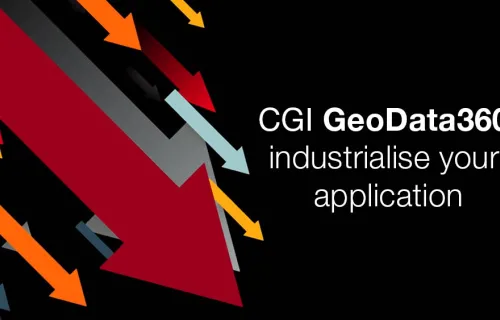
This video explains the benefits of using CGI GeoData360 for the industrialisation of applications that use Earth Observation data.